Gruene
|
C
O M A L C O U N T Y |
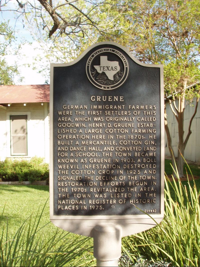
Marker Text: German immigrant farmers were the first settlers of this area, which was originally called Goodwin. Henry D. Gruene established a large cotton farming operation here in the 1870s. He built a mercantile, cotton gin, and dance hall, and conveyed land for a school. The town became known as Gruene in 1903. A boil weevil infestation destroyed the cotton crop in 1925 and signaled the decline of the town. Restoration efforts begun in the 1970s revitalized the area. The town was listed in the national register of historic places in 1975. (1988)
Marker No: 2293
Aluminum 18 x 28 Subject Marker
|
National Register of Historic Places
Geographic: 29.739000,-98.103668
Location: In front of little house on north end of Historic District, New Braunfels
|