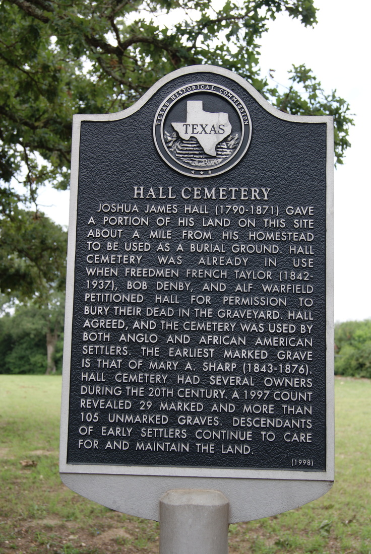
Hall Cemetery
|
H
O U S T O N C O U N T Y |
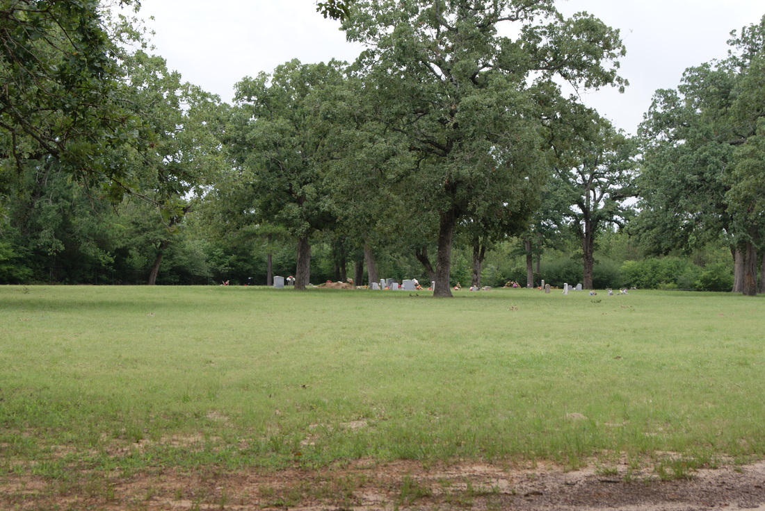
Marker Text: Joshua James Hall (1790-1871) gave a portion of his land on this site about a mile from his homestead to be used as a burial ground. Hall Cemetery was already in use when freedmen French Taylor (1842-1937), Bob Denby, and Alf Warfield petitioned Hall for permission to bury their dead in the graveyard. Hall agreed, and the cemetery was used by both Anglo and African American settlers. The earliest marked grave is that of Mary A. Sharp (1843-1876). Hall Cemetery had several owners during the 20th century. A 1997 count revealed 29 marked and more than 105 unmarked graves. Descendants of early settlers continue to care for and maintain the land. (1998)
Marker No: 12083
Aluminum 18 x 28 Subject Marker
Geographic:31.39760,-95.60829
Location: FM 229, 10.9 miles northwest of Crockett
|
|