Hall Cemetery
|
C
A L D W E L L C O U N T Y |
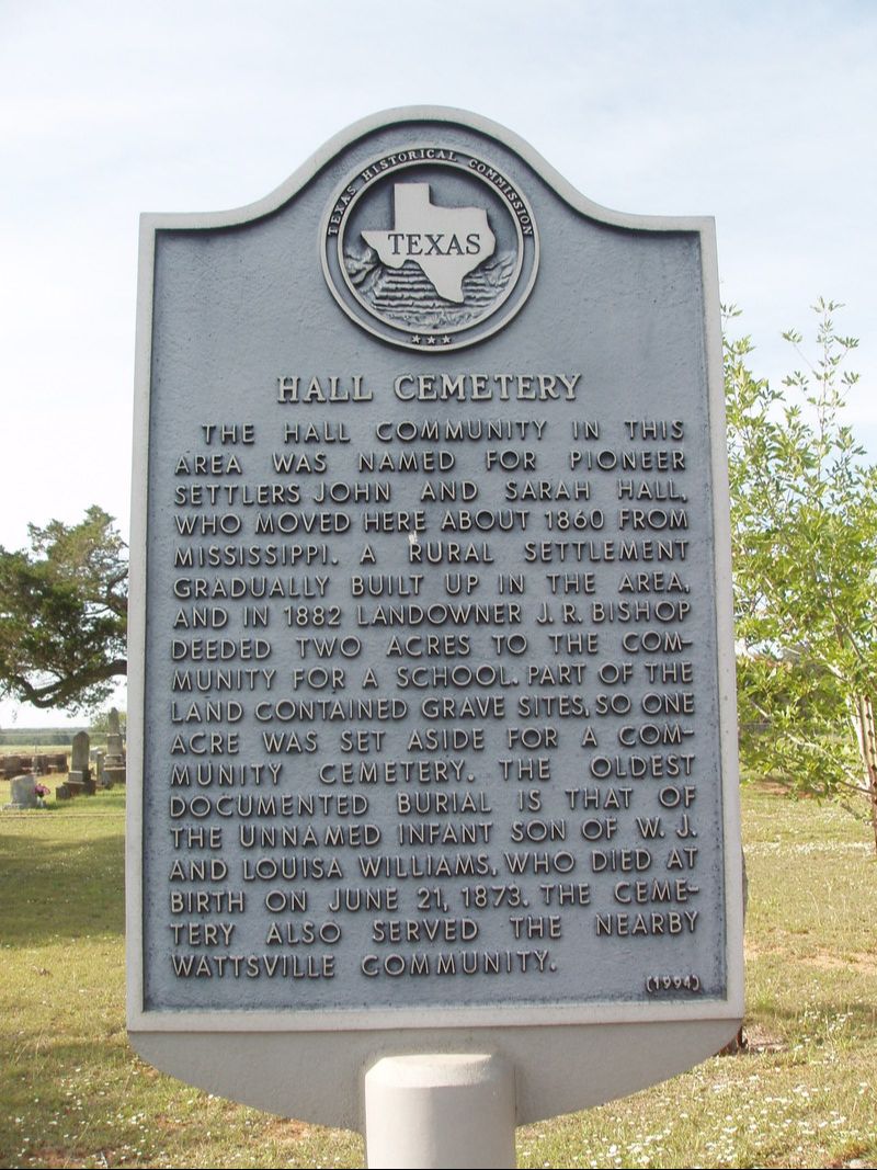
Marker Text: The Hall community in this area was named for pioneer settlers John and Sarah Hall, who moved here about 1860 from Mississippi. A rural settlement gradually built up in the area, and in 1882 landowners J.R. Bishop deeded two acres to the community for a school. Part of the land contained graves sites, so one acre was set aside for a community cemetery. The oldest documented burial is that of the unnamed infant son of W.J. and Louisa Williams, who died at birth on June 21, 1873. The cemetery also served the nearby Wattsville community. (1994)
Marker No: 9775
Aluminum 18 x 28 Subject Marker
Geographic: 29.742193,-97.545509
|
Location: from Luling take FM 1322 5.7 miles east, then 3.2 miles east (right) on CR 139, then .5 mile north (left) on CR 142, then .1 mile west (left) on CR 141
|