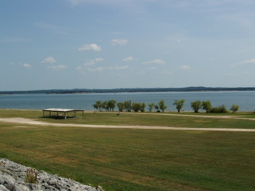
• Alfred M. Hallmark
  • First Baptist Church of Zephyr
  • Military Road
  • Belle Plaine Cemetery
  • Community of Fodice
  • Providence Church and Cemetery
  • Packsaddle Mountain
  • No. 59 Old San Antonio Road
  • Anderson County in the Civil War
  • Smithfield Baptist Church
  • Phair Cemetery
  • New Page
  • New Page
  • New Page
TEXAS HISTORICAL MARKERS

​Lake Somerville

​B
U
R
L
E
S
O
​N

C
O
U
N
T
​Y
Marker Text: First shovel of earth for Somerville Dam was turned Sept. 22, 1962, by Lyndon Johnson, then vice president of United States.
     Dam was built to control flooding on Yegua Creek. In the 46 years prior to 1958, Yegua has flooded 43 times, costing lives, crops. Project was finished 1967. (1968) 
Marker No: 8640
Aluminum 14 x 24 Subject Marker
Geographic: 30.336660,-96.540405
Location: At 8th and Thornberry Streets in front of U.S. Army Corps of Engineers office at dam at Lake Somerville at the southwest edge of Somerville
Picture
Proudly powered by Weebly
  • Alfred M. Hallmark
  • First Baptist Church of Zephyr
  • Military Road
  • Belle Plaine Cemetery
  • Community of Fodice
  • Providence Church and Cemetery
  • Packsaddle Mountain
  • No. 59 Old San Antonio Road
  • Anderson County in the Civil War
  • Smithfield Baptist Church
  • Phair Cemetery
  • New Page
  • New Page
  • New Page