• Greenbrier Cemetery
  • Wilson Chapel Methodist Church
  • Marian Anderson High School
  • Alfred M. Hallmark
  • Frank Mulder Gossett
  • No 57: Old San Antonio Road
  • Zephyr Cemetery
  • Zephyr Gospel Tabernacle
  • First Baptist Church of Zephyr
  • Military Road
  • Zephyr Presbyterian Church
  • Burkett Pecan Tree
  • Hittson Ranch
  • Callahan City Cemetery
  • Admiral Baptist Church
  • Belle Plaine Cemetery
  • Ross Cemetery
  • Callahan County
  • The Prew House
  • Brooke Smith
  • Minnie Fisher Cunningham
  • Ebenezer Baptist Church
  • Dodge
  • Site of Andrew Female College
  • Glendale Cemetery
  • Community of Fodice
  • Pegleg Crossing on the San Saba
  • B. T. Brown House
  • German Methodist Church/First Fire Station
  • Providence Church and Cemetery
  • Packsaddle Mountain
  • Homesite of W. F. Heller, Pioneer Farmer
  • The Bosque-Larios Expedition
  • No. 60 Old San Antonio Road
  • No. 56 Old San Antonio Road
  • No. 59 Old San Antonio Road
  • Texas Central Railroad
  • Center City Community
  • Orla
  • Fairview Cemetery
  • Leon County Courthouse
  • Anderson County in the Civil War
  • Judge H.T. Brown
  • Washington County, C.S.A.
  • Leander
  • Oveta Culp Hobby and the Women's Army Corps
  • Jacob Haller House
  • James M. Holt
  • Washington-on-the Brazos
  • Donigan House
  • Fort Worth Stock Yards Entrance
  • Smithfield Baptist Church
  • Elite Cafe
  • Joseph Brooks Home
  • Phair Cemetery
  • Robert Justus Kleberg
  • Witting School
  • Pioneer Bank Building
  • Whitney Memorial Park
  • Site of Alvarado School, Church and Union Building
  • New Page
TEXAS HISTORICAL MARKERS

​Land Cemetery

W
I
L
L
I
A
M
S
O
N

C
O
U
N
T
Y
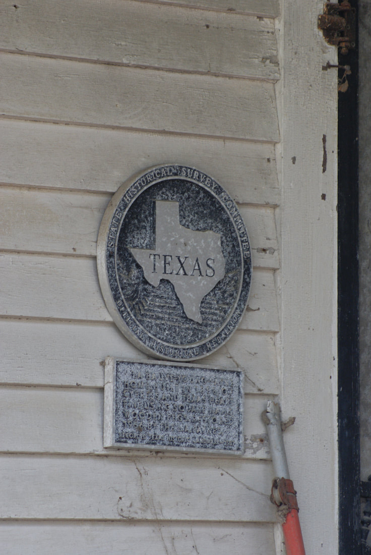
Picture
Marker No: 16341
Texas Historical Cemetery Marker
Geographic: 30.82860, -97.63000
Location: from intersection of 5th Street & Avenue A in Jarrell, 5th Street 1/2 mile and turn left (west) on Avenue A. Go 1/4 mile to First Street (CR 307) and turn right (north). Go 1/2 mile to CR 305 and turn left (west). Go about 1 mile and turn left (south) at the street sign "Land Cemetery". Follow that lane south about 1/4 mile to the cemetery, on the left
Marker Text: ​This burial ground originally served the corn hill community, an early Williamson County settlement named by county judge John E. King for the fields of corn surrounding his home. By the 1880s, corn hill had a post office, businesses, churches, fraternal lodges, cotton gins, mills, a newspaper and a school. Land cemetery is on property owned by settlers Nicholas (d. 1896) and Elizabeth Ann. (Giles) Land (d. 1911), who in 1863 buried his oldest son, John, here, establishing a family burial ground; they soon opened it to neighboring families as well. At least 25 individuals were interred in the graveyard before 1886, when the Salado Valley Cemetery Association purchased 4.1 acres from Nicholas and Elizabeth Land for cemetery use. Others involved in the Land transaction were R.K. and Mary Lou Shaver, J.B. and Bell Shaver, and trustees G.B. Buchanan, W.P. Routon, and J.W. Robertson. In 1909, the Bartlett Western railway bypassed corn hill. The community of Jarrell was organized along the rail line and residents soon began to also use this burial ground.
Cemetery features include curbing, obelisks, interior fencing, vertical stones, grave slabs and false crypts. The interred include veterans of foreign conflicts and members of the Knauth, Langenegger, and Schwertner families, German immigrants who were among the area’s early settlers. The 1997 F5 Jarrell tornado, which resulted in the deaths of 27 individuals, damaged gravestones in the cemetery; many were later repaired. Today, the Salado Valley Cemetery Association continues to care for this burial ground, which serves as a connection between the early residents of corn hill and the many others who have lived near Salado Creek in northern Williamson County. (2007
Proudly powered by Weebly
  • Greenbrier Cemetery
  • Wilson Chapel Methodist Church
  • Marian Anderson High School
  • Alfred M. Hallmark
  • Frank Mulder Gossett
  • No 57: Old San Antonio Road
  • Zephyr Cemetery
  • Zephyr Gospel Tabernacle
  • First Baptist Church of Zephyr
  • Military Road
  • Zephyr Presbyterian Church
  • Burkett Pecan Tree
  • Hittson Ranch
  • Callahan City Cemetery
  • Admiral Baptist Church
  • Belle Plaine Cemetery
  • Ross Cemetery
  • Callahan County
  • The Prew House
  • Brooke Smith
  • Minnie Fisher Cunningham
  • Ebenezer Baptist Church
  • Dodge
  • Site of Andrew Female College
  • Glendale Cemetery
  • Community of Fodice
  • Pegleg Crossing on the San Saba
  • B. T. Brown House
  • German Methodist Church/First Fire Station
  • Providence Church and Cemetery
  • Packsaddle Mountain
  • Homesite of W. F. Heller, Pioneer Farmer
  • The Bosque-Larios Expedition
  • No. 60 Old San Antonio Road
  • No. 56 Old San Antonio Road
  • No. 59 Old San Antonio Road
  • Texas Central Railroad
  • Center City Community
  • Orla
  • Fairview Cemetery
  • Leon County Courthouse
  • Anderson County in the Civil War
  • Judge H.T. Brown
  • Washington County, C.S.A.
  • Leander
  • Oveta Culp Hobby and the Women's Army Corps
  • Jacob Haller House
  • James M. Holt
  • Washington-on-the Brazos
  • Donigan House
  • Fort Worth Stock Yards Entrance
  • Smithfield Baptist Church
  • Elite Cafe
  • Joseph Brooks Home
  • Phair Cemetery
  • Robert Justus Kleberg
  • Witting School
  • Pioneer Bank Building
  • Whitney Memorial Park
  • Site of Alvarado School, Church and Union Building
  • New Page