Lost Pines of Texas
|
B
A S T R O P C O U N T Y |
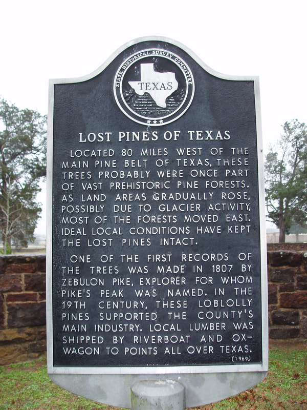
Marker Text: Located 80 miles west of the main pine belt of Texas, these trees probably were once part of vast, prehistoric pine forests. As land areas gradually rose, possibly due to glacier activity, most of the forests moved east. Ideal local conditions have kept the Lost Pines intact.
One of the first records of the trees was made in 1807 by Zebulon Pike, explorer for whom Pike's Peak was named. In the 19th century, these loblolly pines supported the county's main industry. Local lumber was shipped by riverboat and ox-wagon to points all over Texas. (1969) Marker No: 9208
Aluminum 18 x 28 Subject Marker
|
Geographic: 30.008745, -97.159988
Location: entrance to Bastrop State Park, SH 21 at Loop 150, Bastrop
|