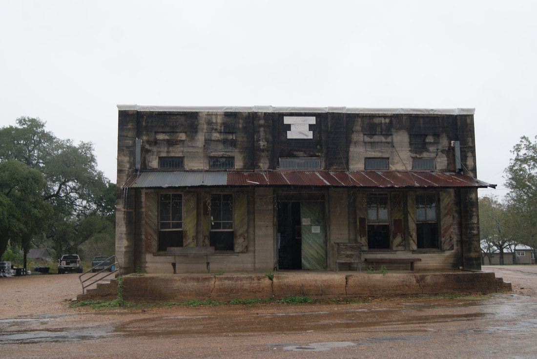
• Alfred M. Hallmark
  • First Baptist Church of Zephyr
  • Military Road
  • Belle Plaine Cemetery
  • Community of Fodice
  • Providence Church and Cemetery
  • Packsaddle Mountain
  • No. 59 Old San Antonio Road
  • Anderson County in the Civil War
  • Smithfield Baptist Church
  • Phair Cemetery
  • New Page
  • New Page
  • New Page
TEXAS HISTORICAL MARKERS

​Meyersville

​D
E
W
I
T
T

C
O
U
N
T
Y
Marker Text: ​Community opened by Peter Bluntzer, an 1843 settler drawing many others from Alsace; named for Adolph Meyer, an 1846 arrival, at whose home post office was established (1851). Lutheran and Catholic churches were founded in 1850s. Public school opened in 1899. Famous turkey-producing area. Population reached peak about 1923. (1971) 
Marker No: 3357
Aluminum 20 x 20 Subject Marker
Geographic: ​28.928179,-97.313370
Location: FM 3157, Meyersville
Picture
Proudly powered by Weebly
  • Alfred M. Hallmark
  • First Baptist Church of Zephyr
  • Military Road
  • Belle Plaine Cemetery
  • Community of Fodice
  • Providence Church and Cemetery
  • Packsaddle Mountain
  • No. 59 Old San Antonio Road
  • Anderson County in the Civil War
  • Smithfield Baptist Church
  • Phair Cemetery
  • New Page
  • New Page
  • New Page