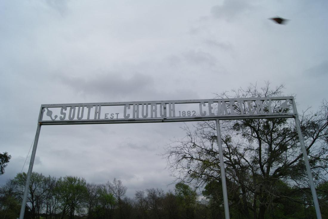
Mt. Pleasant Hill Cemetery
|
C
O L L I N C O U N T Y |
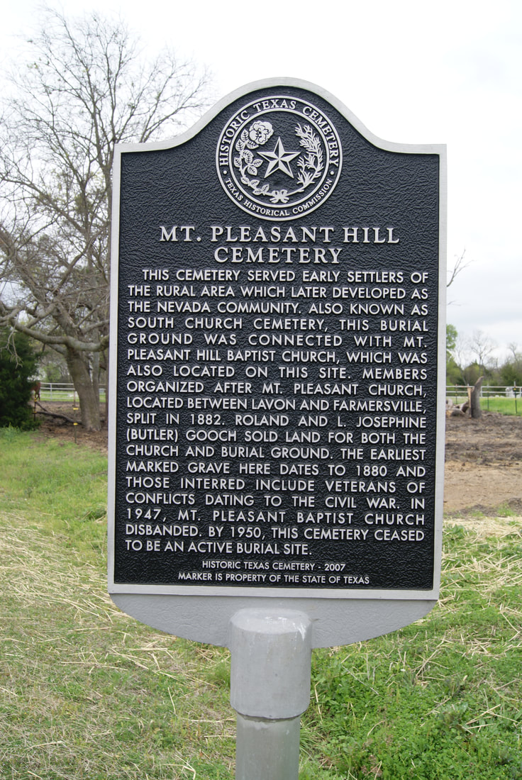
Marker No: 14359
Texas Historical Cemetery Marker
Geographic: 33.012009, -96.380295
Location: Nevada. Located about 2 miles south of Nevada. It is located about .08 mile south of the intersection of CR 541 and CR 800. It is located on the east side of CR 800.
|
Marker Text: This cemetery served early settlers of the rural area which later developed as the Nevada community. Also known as South Church Cemetery, this burial ground was connected with Mt. Pleasant Hill Baptist Church, which was also located on this site. Members organized after Mt. Pleasant Church, located between Lavon and Farmersville, split in 1882. Roland and L. Josephine (Butler) Gooch sold land for both the church and burial grounds. The earliest marked grave here dates to 1880 and those interred include veterans of conflicts dating to the Civil War. In 1947, Mt. Pleasant Baptist Church disbanded. By 1950, this cemetery ceased to be an active burial site. (2007)
|