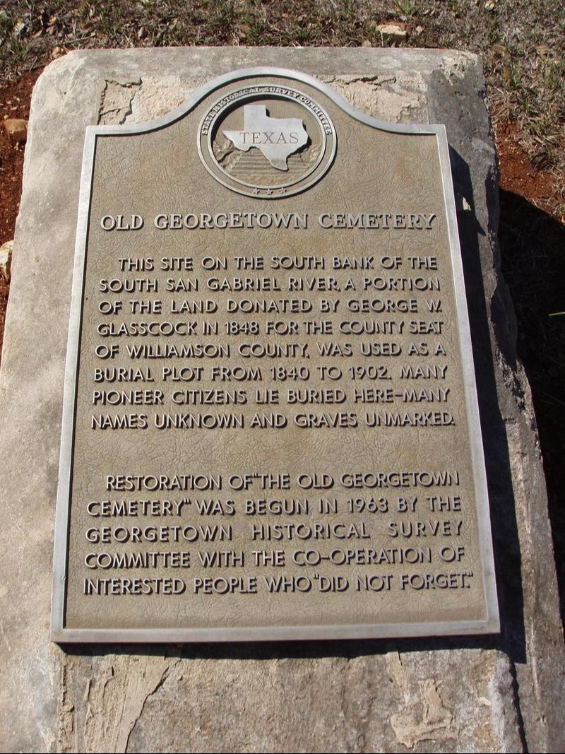
Old Georgetown Cemetery
|
W
I L L I A M S O N C O U N T Y |
|
Marker Text: This site on the south bank of the South San Gabriel River, a portion of the land donated by George W. Glasscock in 1848 for the county seat of Williamson County, was used as a burial plot from 1840 to 1902. Many pioneer citizens lie buried here - many names unknown and graves unmarked.
Restoration of "The Old Georgetown Cemetery" was begun in 1963 by the Georgetown Historical Survey Committee with the co-operation of interested people who "did not forget." (1963) Marker No: 14602
Aluminum 18 x 28 Subject Marker
Geographic: 30.64173, -97.68192
Location: Blue Hole Park Road at Scenic Drive near
Martin Luther King Street (2nd Street) intersection, Georgetown |