Prairie Grove
|
A
N G E L I N A C O U N T Y |
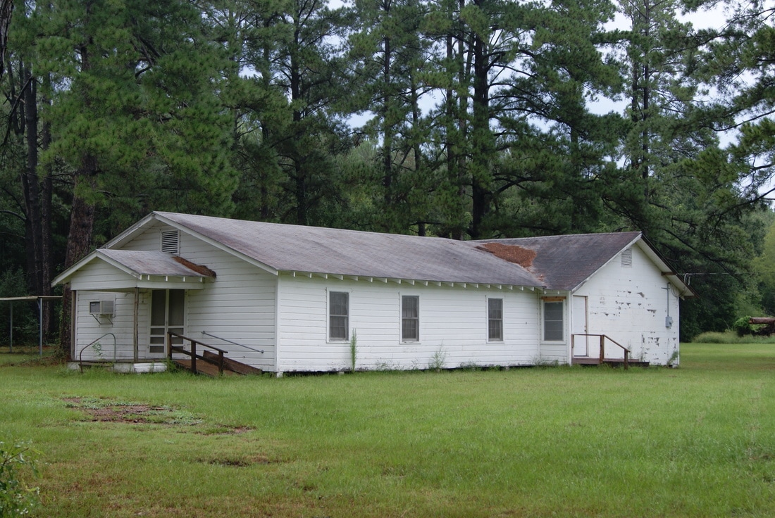
Marker Text: The community of Prairie Grove began in 1845 and became a place for early settlers to gather. A cemetery began in 1849 when the young daughter of John M. and Caroline Stovall died. In the 1880s a school/church building was erected near the cemetery, and became the heart of the community. The church became the Prairie Grove Missionary Baptist Church in 1921, and a new schoolhouse was built that served the area until 1948 when the school was disbanded. The church and cemetery continue to serve the area after more than a century. (1996)
Marker No: 8718
Aluminum 18 x 28 Subject Marker
Geographic: 31.169050,-94.720810
Location: 5 miles east of Diboll at intersection of FM 1818 and CR 263
|