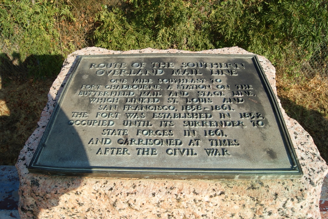
• Alfred M. Hallmark
  • First Baptist Church of Zephyr
  • Military Road
  • Belle Plaine Cemetery
  • Community of Fodice
  • Providence Church and Cemetery
  • Packsaddle Mountain
  • No. 59 Old San Antonio Road
  • Anderson County in the Civil War
  • Smithfield Baptist Church
  • Phair Cemetery
  • New Page
  • New Page
  • New Page
TEXAS HISTORICAL MARKERS

​Route of the Southern
​Overland Mail Line

C
O
K
E

C
O
U
N
T
Y
Marker Text: One mile southeast to Fort Chadbourne, a station on the Butterfield mail and stage line, which linked St. Louis and San Francisco, 1858 - 1861. The fort was established in 1852, occupied until its surrender to state forces in 1861, and garrisoned at times after the Civil War. (1936) 
Marker No: 4374
1936 Pink Granite Centennial Marker 
Geographic: 32.032482,-100.260712
Location: from Bronte, take US 277 north about 11 miles to roadside park
Picture
Proudly powered by Weebly
  • Alfred M. Hallmark
  • First Baptist Church of Zephyr
  • Military Road
  • Belle Plaine Cemetery
  • Community of Fodice
  • Providence Church and Cemetery
  • Packsaddle Mountain
  • No. 59 Old San Antonio Road
  • Anderson County in the Civil War
  • Smithfield Baptist Church
  • Phair Cemetery
  • New Page
  • New Page
  • New Page