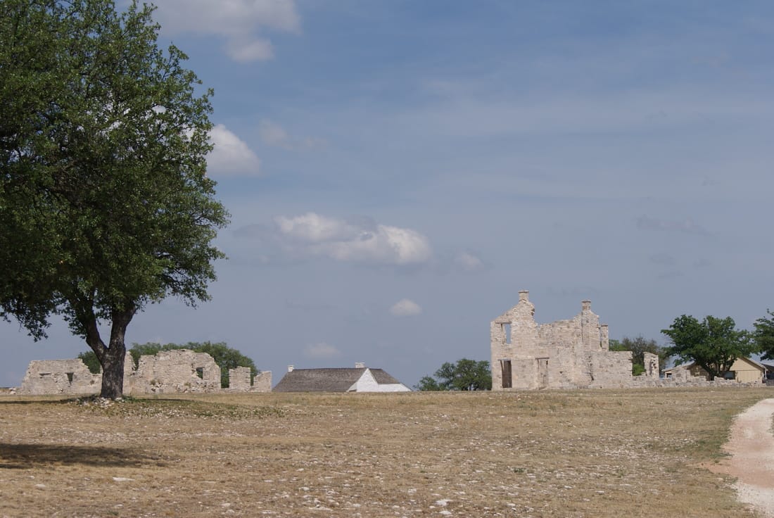
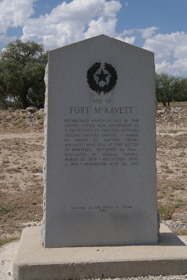
• Alfred M. Hallmark
  • First Baptist Church of Zephyr
  • Military Road
  • Belle Plaine Cemetery
  • Community of Fodice
  • Providence Church and Cemetery
  • Packsaddle Mountain
  • No. 59 Old San Antonio Road
  • Anderson County in the Civil War
  • Smithfield Baptist Church
  • Phair Cemetery
  • New Page
  • New Page
  • New Page
TEXAS HISTORICAL MARKERS

​Site of
​Fort McKavett

M
E
N
A
R
D

C
O
U
N
T
Y
Marker Text: ​Established March 14, 1852 by the United States war department as a protection to frontier settlers against hostile Indians. Named in honor of Captain Henry McKavett, who fell at the Battle of Monterrey, September 21, 1846. Evacuated by federal troops, March 22, 1859. Reoccupied April 1, 1868. Abandoned June 30, 1883. (1936) 
Marker No: 4795
1936 Gray Granite Centennial Marker 
National Register of Historic Places
Geographic: 30.824575, -100.111244
Location: ​at entrance to Fort McKavett from Menard take US 190 17 miles west to FM 864, take 864 6 miles southwest to Fort McKavett.
Picture
Picture
Proudly powered by Weebly
  • Alfred M. Hallmark
  • First Baptist Church of Zephyr
  • Military Road
  • Belle Plaine Cemetery
  • Community of Fodice
  • Providence Church and Cemetery
  • Packsaddle Mountain
  • No. 59 Old San Antonio Road
  • Anderson County in the Civil War
  • Smithfield Baptist Church
  • Phair Cemetery
  • New Page
  • New Page
  • New Page