• Alfred M. Hallmark
  • First Baptist Church of Zephyr
  • Military Road
  • Belle Plaine Cemetery
  • Community of Fodice
  • Providence Church and Cemetery
  • Packsaddle Mountain
  • No. 59 Old San Antonio Road
  • Anderson County in the Civil War
  • Smithfield Baptist Church
  • Phair Cemetery
  • New Page
  • New Page
  • New Page
TEXAS HISTORICAL MARKERS

Taylor County

T
A
Y
L
O
R

C
O
U
N
T
Y
Marker Text: ​Taylor County was created in 1858 and named for three Tennesseans, Edward, James, and George Taylor. They all gave their lives at the Alamo in 1836. (1936)
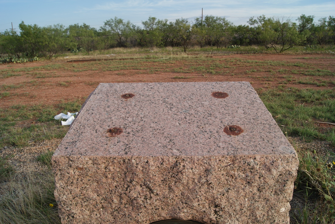
Marker No: 5207
1936 Centennial County Highway Marker
Geographic: 32° 27.329′ N, 99° 49.872′ W
Location: U.S. 84 0.7 miles west of Fulwiler Road, on the right when traveling west. Marker is located at a pullout from the westbound lanes of the divided highway US 84. Marker can only be accessed from the westbound lanes of US 84.
Picture
Proudly powered by Weebly
  • Alfred M. Hallmark
  • First Baptist Church of Zephyr
  • Military Road
  • Belle Plaine Cemetery
  • Community of Fodice
  • Providence Church and Cemetery
  • Packsaddle Mountain
  • No. 59 Old San Antonio Road
  • Anderson County in the Civil War
  • Smithfield Baptist Church
  • Phair Cemetery
  • New Page
  • New Page
  • New Page